







FIELD GUIDE · PURPOSE AND BOUNDARIES
3D NEXRAD Weather Globe: practical use and context
The weather viewer combines an interactive globe, radar imagery and location-based weather information. It is a visual exploration aid, not an emergency-warning service or a guarantee of complete radar coverage.
↑ Back to the application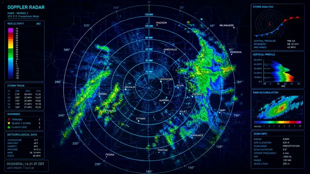
Select a place and read the observation context
Navigate the globe or use location search to choose an area. Check the selected place before interpreting weather values; similarly named cities can exist in different countries. Read the displayed units, timestamp and radar state rather than assuming every layer updates simultaneously. The globe’s visual continuity does not imply that every region has equally dense observations.
Radar frames and current weather serve different purposes. A radar image represents available precipitation-related imagery, while a current-weather panel reports the selected location’s supplied weather fields. Gaps in radar imagery are not proof of dry conditions. Do not substitute the appearance of a textured globe for a provider’s coverage and timing information.
Compare context, not just colors
Choose a familiar city and inspect its weather panel. Move to a nearby location and check whether the selected name and coordinates changed as intended. Compare the same units and observation context. For a travel-planning discussion, use this as an exploratory view, then consult official forecasts and alerts for the actual route and time.
When explaining a weather image to someone else, include its time and location rather than sharing an unlabeled crop. Colors depend on the layer’s legend and cannot be interpreted as a universal measure of danger. A single frame does not establish a storm’s future path or the safety of an outdoor activity.
External data and loading limits
The implementation requests radar information from RainViewer, weather fields from Open-Meteo and place names or searches from OpenStreetMap’s Nominatim service. Availability, network access and provider coverage affect the result. If a layer fails to load, try the ordinary page controls or return later; do not interpret missing imagery as a valid zero observation.
A location query is sent to the relevant external service. Avoid entering private addresses when a general locality is sufficient. Browser graphics support also affects the globe. This page does not promise offline weather, certified aviation or marine guidance, or uninterrupted warning delivery. Follow local authorities for safety-critical decisions.